GsAL Student Research Highlight: Radhika Bhargava

Written by Oz Brown

Google Earth Engine India Workshop

A hugely productive summer for USF’s Geospatial Analysis Lab (GsAL) began with one of our graduate research assistants, Radhika Bhargava, attending the 2017 Information and Communications Technologies for Development conference in India, in May. The focus of the conference was improving the use of data and technology to help the drive toward development in less developed countries and meet the UN’s sustainable development goals and was well attended by representatives from around the world.

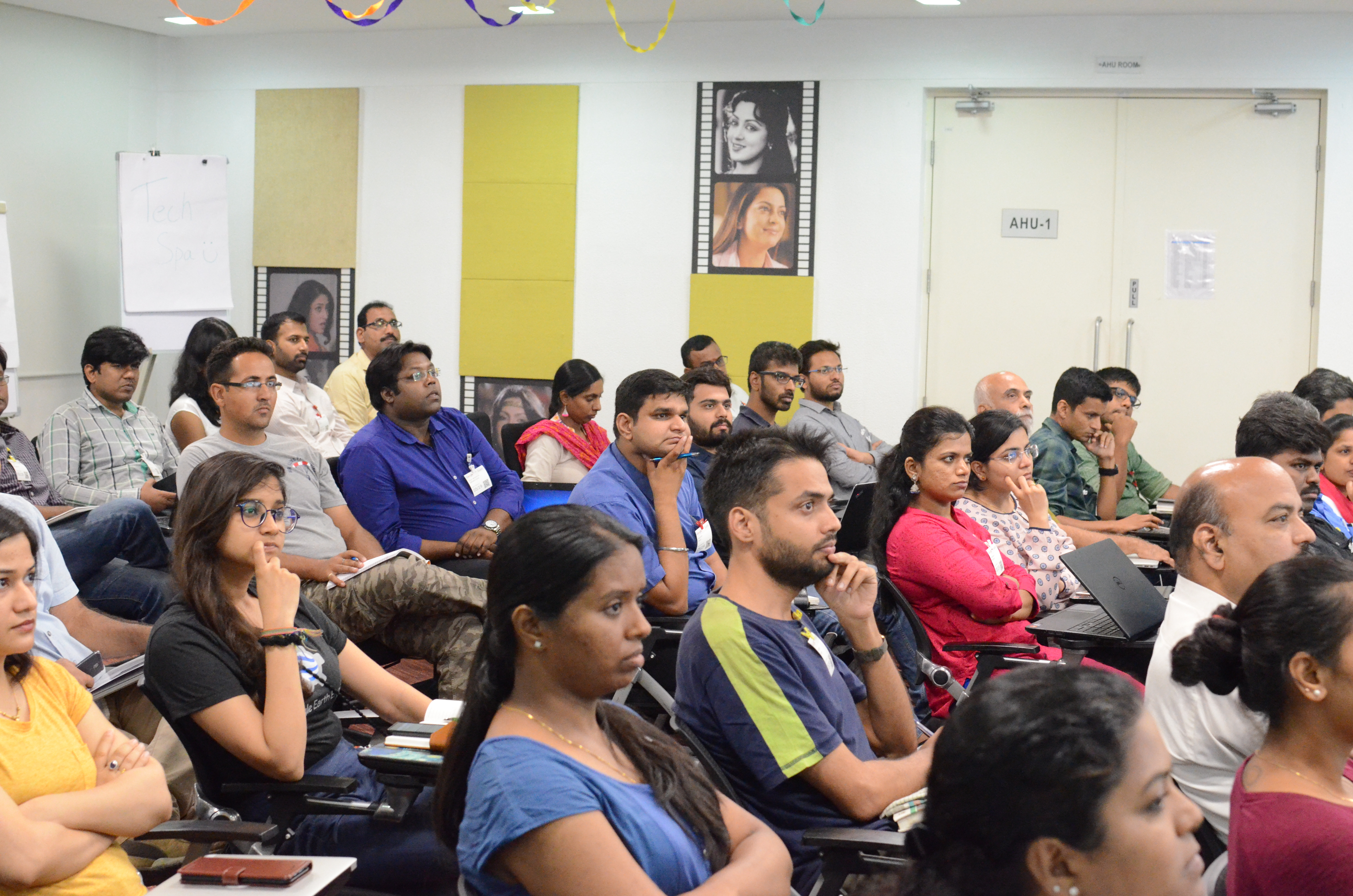
Radhika’s key assignment for the week was to collaborate with Google to deliver training in the use of Google Earth Engine (GEE) at Google Hyderabad to around 60 participants from technical and non-technical backgrounds. This kind of training and collaboration is greatly valued by participants as it allows for groups working within and across nations to connect with each other, share ideas and improve common understanding of the contexts surrounding local, national and global development issues. GEE combines colossal geospatial data-sets and petabytes of satellite imagery with formidable planetary-scale analytical capabilities to provide researchers with the ability to identify, quantify and study the effects of changes to the Earth’s surface – and by harnessing the power of their Cloud technology, this is all possible on a standard home computer. The sense of purpose, learning and new ideas for applications at the conference were all outstanding, and extremely encouraging for the future of progress towards meeting the UN sustainability goals.


Summer Internship on Coastal Management

In July our graduate research assistant at GsAL, Radhika Bhargava, worked with the Suganthi Devadason Marine Research Institute (SDMRI) in Tuticorin, in the state of Tamil Nadu in India. After convincing the director of SDMRI, Dr J. K. Patterson Edward, to offer her a short research placement there, she spent two weeks learning about the issue of bycatch in the Gulf of Mannar, by Tuticorin’s coastal village fishing industry. Bycatch is the unavoidable process of catching fish or other marine life that are not of target species, age, sex or weight. In the case of Tuticorin, a key concern is the bycatch of soft and hard coral species, and sponges, which could easily be seen in the early morning in the fishermen’s nets. The fishermen assert that they do not target coral-rich areas as coral can destroy fishing nets, but there is approximately 10 kilograms of benthic substrate – essentially, the material that makes up the floor of a given body of water, in this case coral – being pulled up per boat, per day. The types of nets are consistent among the villages and each village operates from 100-300 boats, so it is clear that there is a need for the excellent work that SDMRI and other environmental research organizations are doing to learn about the effects of destructive fishing practices and work with communities towards more sustainable economic activity.


Monitoring Land Cover for Resilient Development

This article was provided by SERVIR-Mekong/ADPC, and is also available on the ADPC website.

Take a look at this land cover photo. What do you see? Is it a forest, agriculture, water or something else?

Landcover_GoogleMapImage
Photo Credit: Google

It may seem like an irrelevant question, but it is not. Understanding land cover and land use change is important for land resource planning and for ecosystem services. This includes biodiversity conservation, water provision and purification, and resilience to climate change, among others. However, updates to land cover maps are infrequent, and classification systems can be inconsistent across years and countries.

 Workshop participants discuss path forward
Wildlife Conservation Society (WCS) and ADPC participants from the Regional Land
Cover Monitoring System workshop discuss a consistent path forward in classifying
different plots. Photo Credit: Watcharaporn Usomchat  

Returning to the question in the beginning, how do we classify different land types? Working with key partners in the region is necessary to promote a coordinated approach in mapping and land classification. In March 2016, the Asian Disaster Preparedness Center (ADPC), along with SilvaCarbon, the US Forest Service and the Spatial Informatics Groups (SIG), brought partners from the region to begin the process of agreeing to common land classifications that could address the needs of several groups. This was part of a larger process of building a Regional Land Cover Monitoring System in the Lower Mekong Region, one of the flagship systems being created under the SERVIR-Mekong initiative funded by the United States Agency for International Development (USAID) with NASA and implemented by ADPC.

This work continued from 7-14 July 2016 as SERVIR-Mekong, along with SilvaCarbon, the US Forest Service and SIG, hosted a Google Earth Engine Training and a second workshop for the Regional Land Cover Monitoring System. Stakeholders worked particularly on algorithm development and reference data collection approaches.  During the workshop, partners in the region convened to determine a consistent path forward in classifying different plots (or land types). This is a key step in the development of the Regional Land Cover Monitoring System, which will promote in-depth and reliable analysis on land cover issues in the Lower Mekong and provide reliable and consistent maps for the region.

 Facilitator David Saah works with participants using Google Earth Engine
Workshop facilitator, David Saah (Associate Professor & Director of Geospatial
Analysis Lab, Department of Environmental Science, University of San Francisco)
works with some ADPC, WCS and University Partnership Network participants in
using Google Earth Engine. Photo Credit: Watcharaporn Usomchat  

As development of the Regional Land Cover Monitoring System continues, SERVIR-Mekong will be launching MAPCHA, a custom built and innovative tool that will allow for crowd sourced visual interpretation of satellite images. Along with other reference data sets from ministries and departments, image interpretations from participants throughout the Lower Mekong region will constitute a large training and validation dataset.

With the Regional Land Cover Monitoring System, decision makers, partners, and the general public will have access to reliable information on land cover, providing evidence based data to inform land use planning for climate resilience.

SERVIR-Mekong is a unique partnership with USAID and NASA, to promote the use of publicly available space technology for resilient development in the Lower Mekong. SERVIR-Mekong is implemented by Asian Disaster Preparedness Center with Spatial Informatics Group, Stockholm Environment Institute and Deltares.

For more information, please visit servir.adpc.net

Typology for Regional and Land Cover Monitoring System Workshop

The GsAL is traveling back to Bangkok, Thailand to help the SERVIR-Mekong team, in partnership with the U.S. Forest Service-Remote Sensing Applications Center (USFS-RSAC), SilvaCarbon, and the Asian Development Bank GMS Core Environment Program (ADB-CEP), organize a workshop entitled Typology for a Regional Land Cover Monitoring System, in Bangkok, Thailand.

The main objectives of the workshop are to maximize consensus for a consistent regional land cover typology and establish working groups for developing a system to produce periodic regional land cover products.
Participants will be asked to review a technical document and prepare a brief presentation outlining their institution’s land cover monitoring-related work.

Background
In 2015, SERVIR-Mekong conducted a geospatial needs assessment for the Lower Mekong countries which included individual country consultations. The team found that many countries were dependent on land cover and land use maps for land resource planning, quantifying ecosystem services including resilience to climate change, biodiversity conservation, and other critical social issues. Many of the Lower Mekong countries have developed national scale land cover maps derived in part from remote sensing products and geospatial technologies. However, updates are infrequent and classification systems do not always meet the needs of key user groups. In addition, data products stop at political boundaries and are often not accessible. Many of the Lower Mekong countries rely on global land cover products to fill the gaps of their national efforts, compromising consistency between data and policies. These gaps in national efforts can be filled by a flexible regional land cover monitoring system that is co-developed by regional partners with the specific intention of meeting national transboundary needs, for example including consistent forest definitions in transboundary watersheds. During this assessment, regional stakeholders identified a need for a land cover monitoring system that will produce frequent, high quality land cover maps using a consistent regional classification scheme that is compatible with national country needs.
Based on this need and demand, SERVIR-Mekong is leveraging the recent development of remote sensing science and technology, such as Google Earth Engine (GEE), and working together with production partners to develop a system that will use a common set of input data sources to generate high-quality regional land cover maps on a regular basis (i.e. annual or every two years). The system is being designed to facilitate improved policy, planning, and decision making by a wide range of users (such as government agencies, local community groups, non-profit organizations, and the private sector). An important component of this system’s design is the ability to leverage the recent developments in remote sensing science and technology that can contribute significantly to more timely land cover inventories. The system’s design will also enable more effective and efficient mapping efforts. For example, GEE allows cloud-based storage and computation of large quantities of remotely sensed data that can be organized in many ways to meet specific needs.

The development of a consistent regional land cover typology for categorizing land cover data using regional [i.e., regionally agreed] definitions that is reasonably compatible with existing national classification systems, is the first step needed for such a Mekong specific monitoring system. In this context, a 3- day exchange will be organized to train, discuss, consult and agree on a consistent typology/classification system that will be used for the regional land cover monitoring system for Lower Mekong countries.

– See more at: http://servir.adpc.net/news-events/typology-regional-land-cover-monitoring-system-workshop#sthash.Zp5X4Rei.dpuf