Field Journal #6 – San Bruno State Park

 
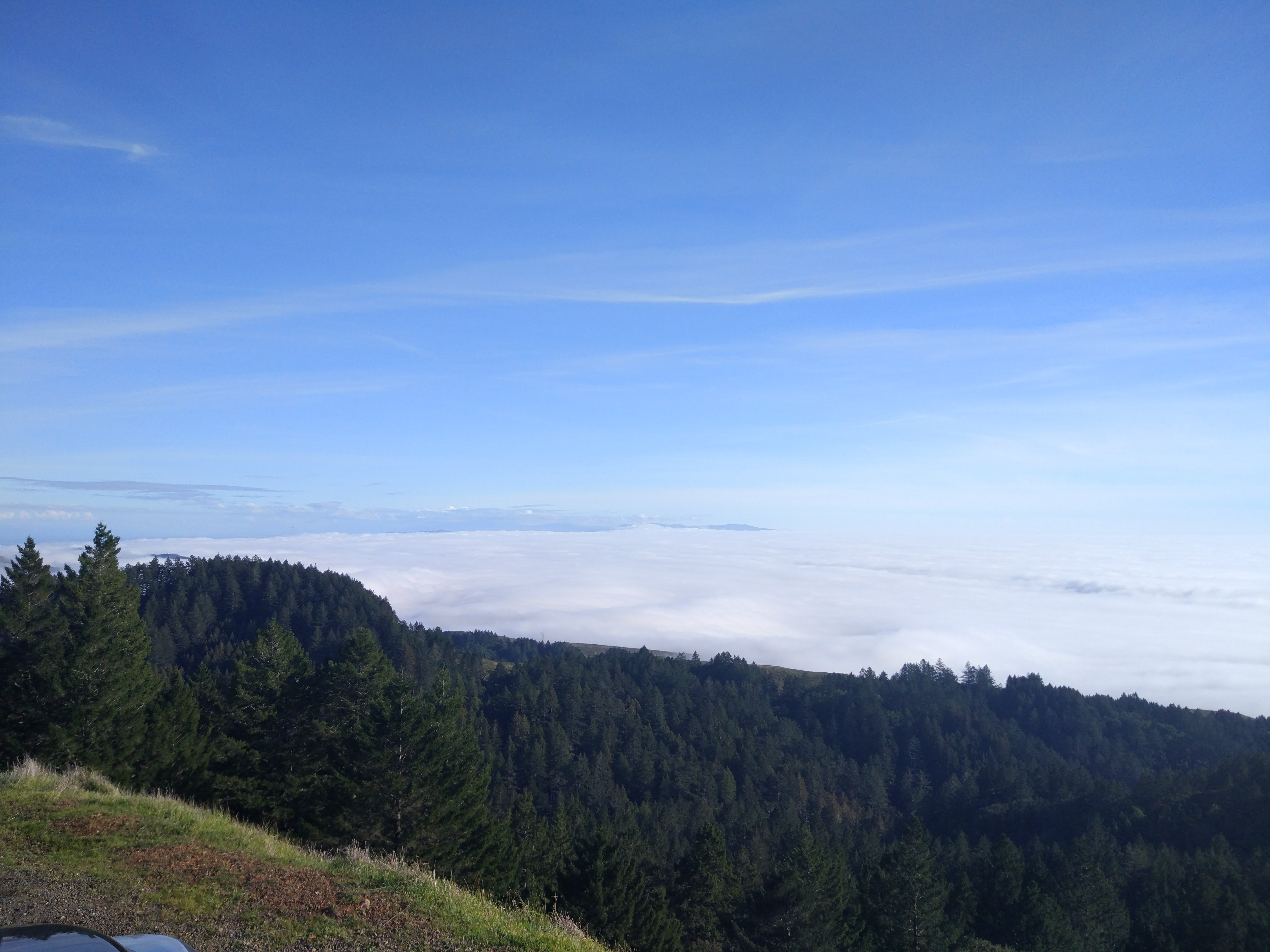
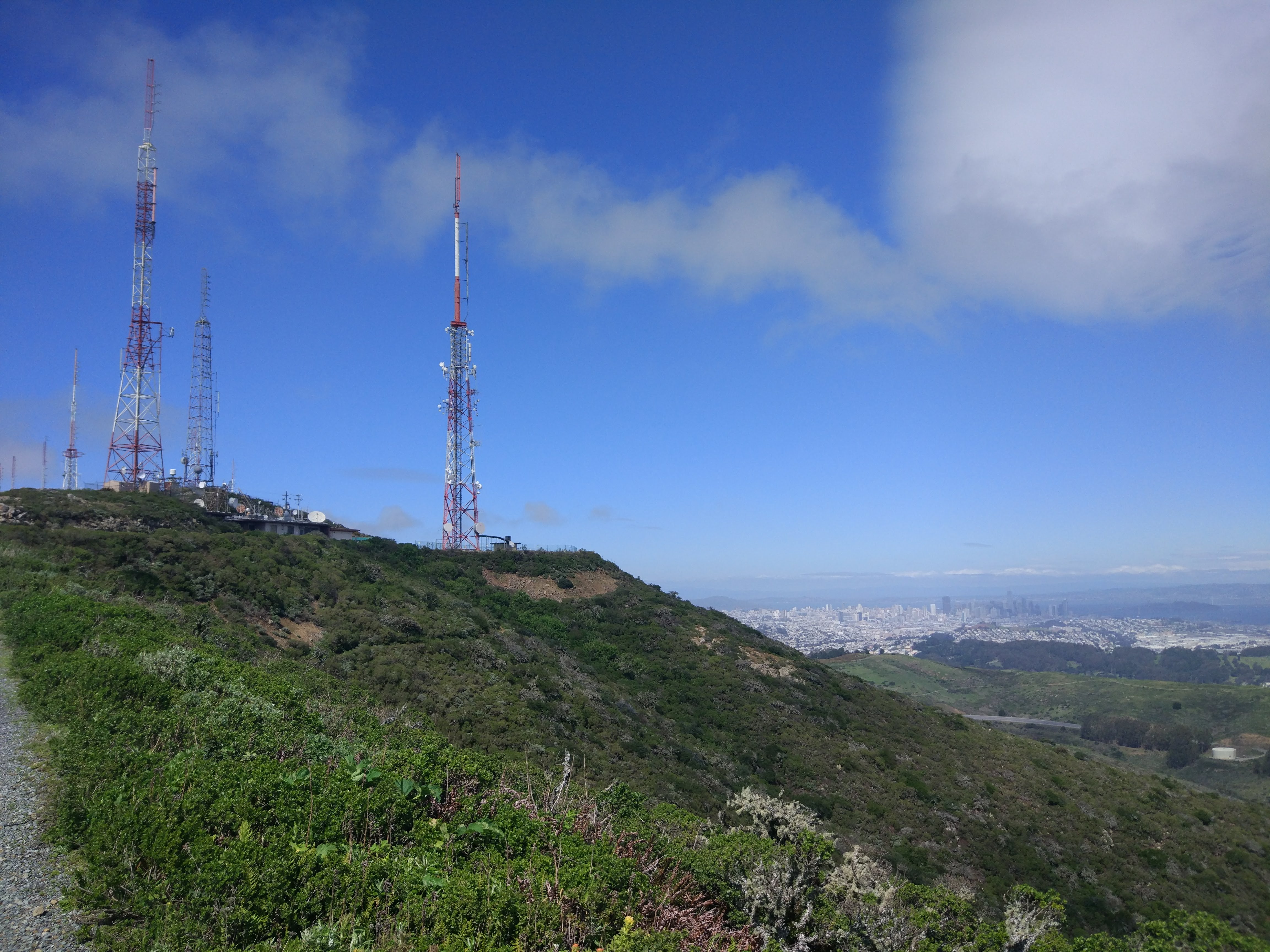
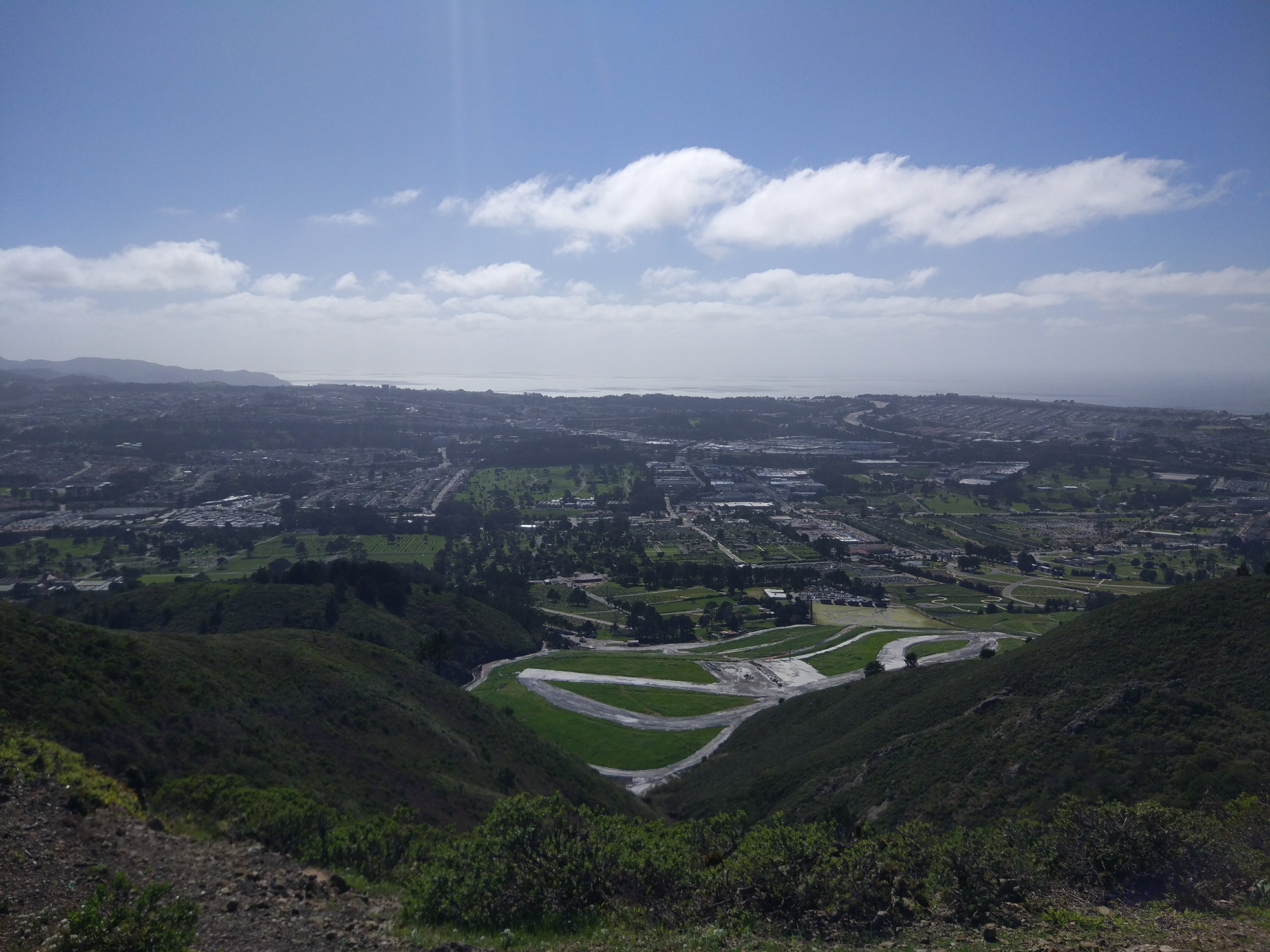
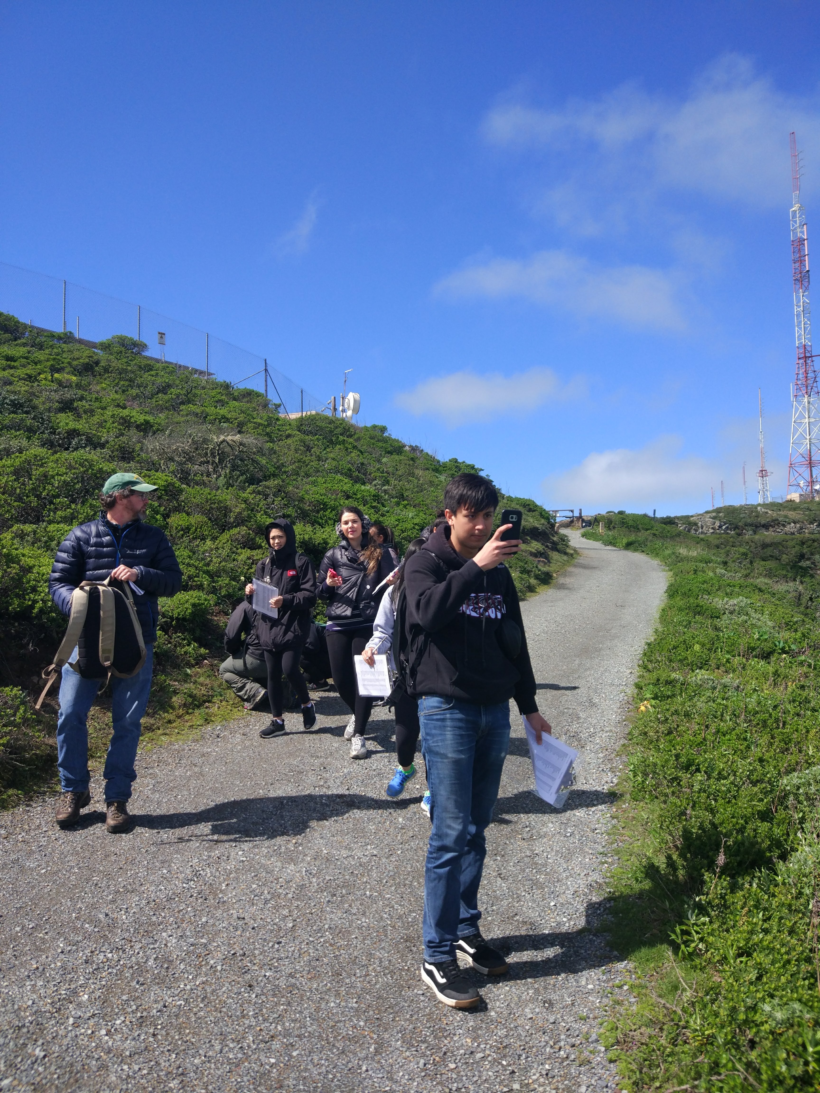
Location: 682 ft | 37.776,-122.493

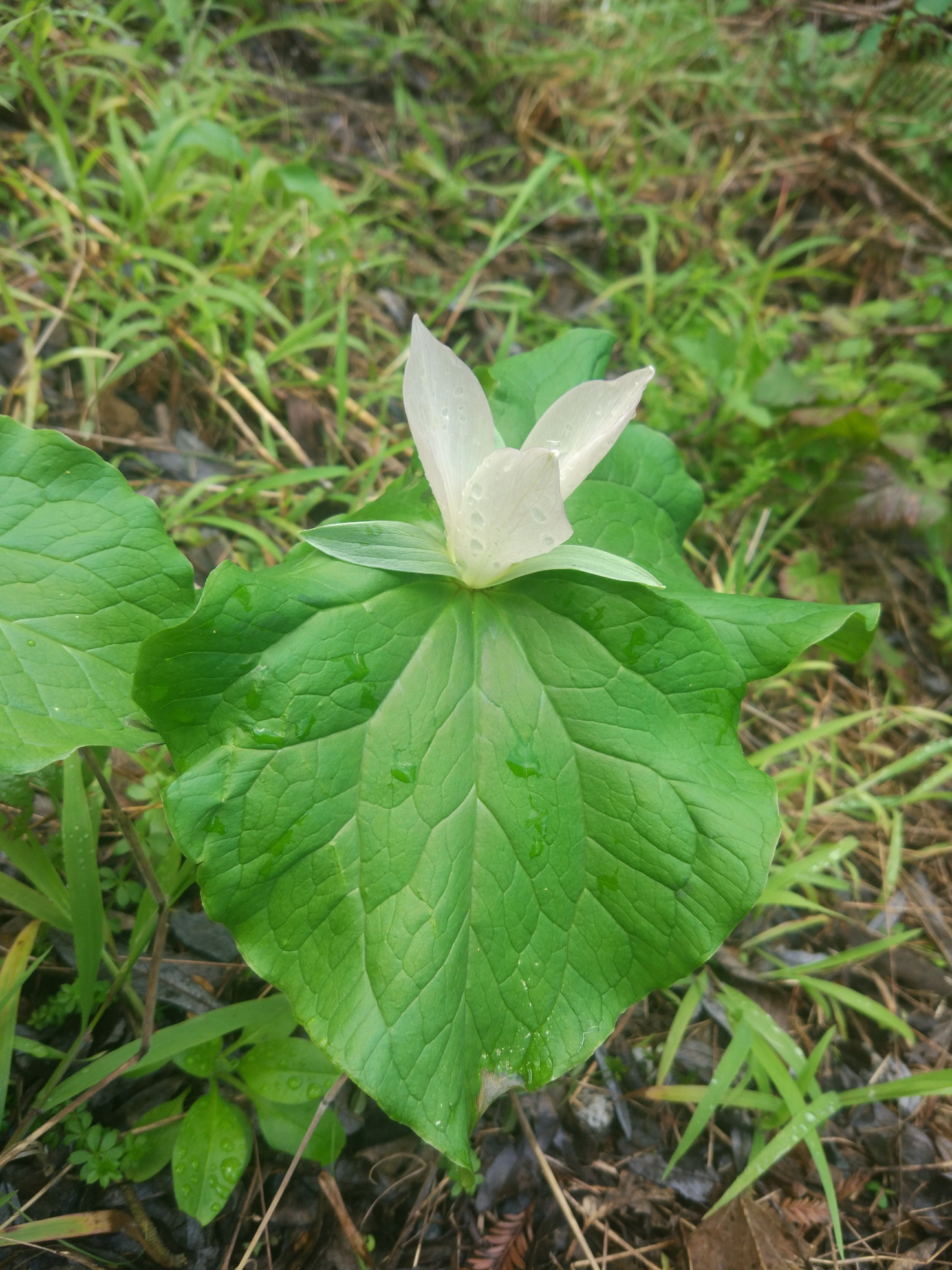
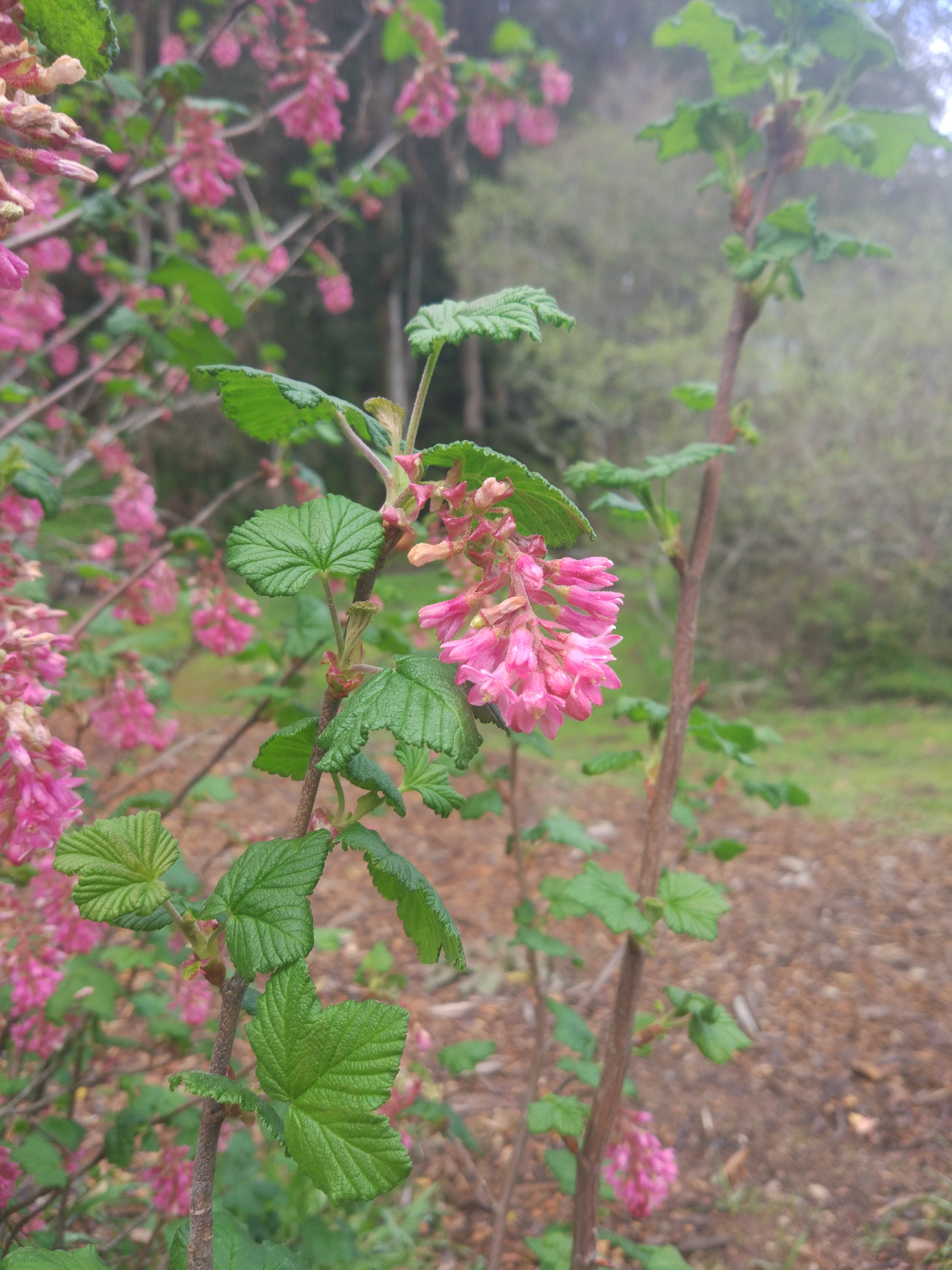
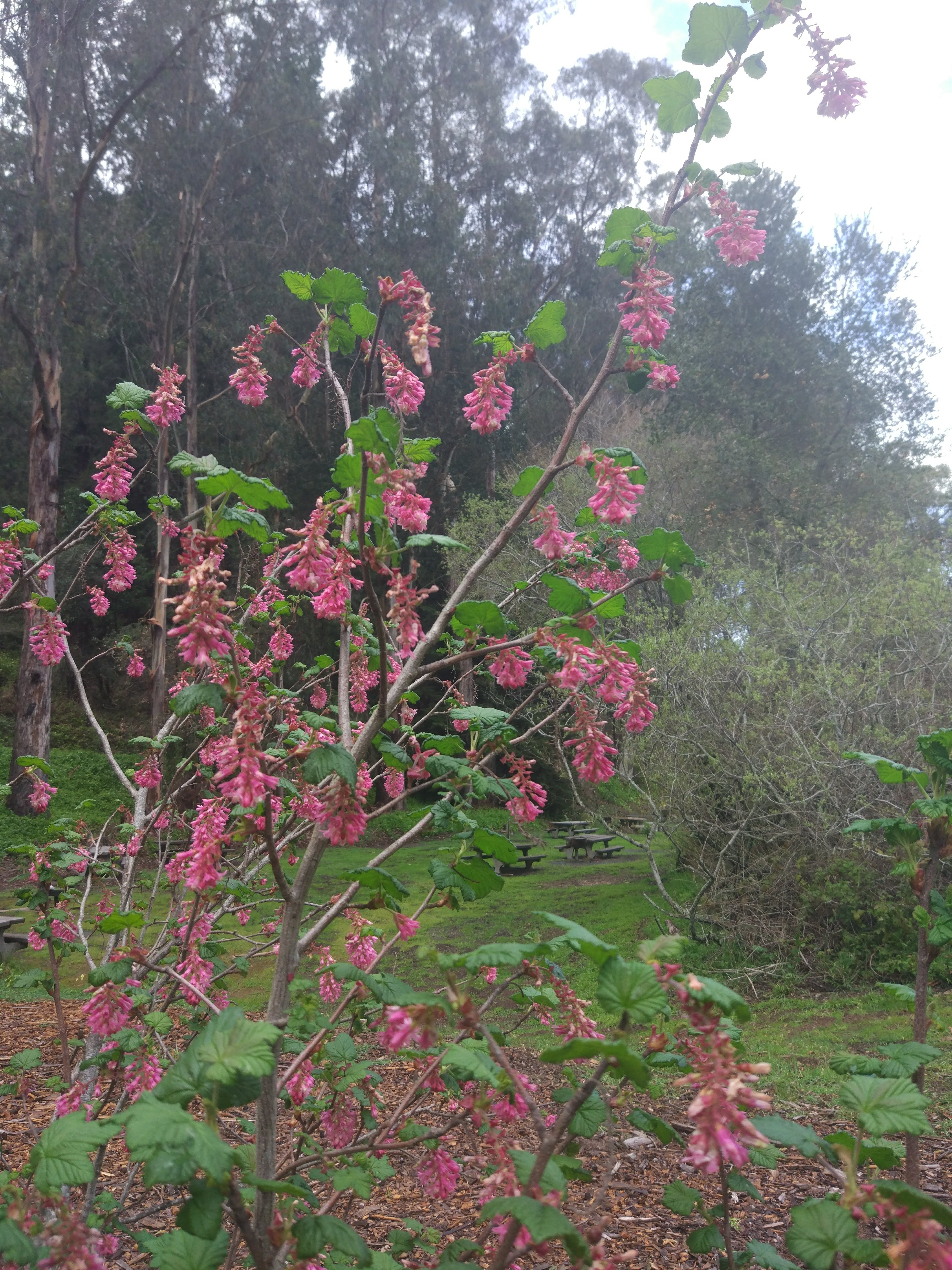
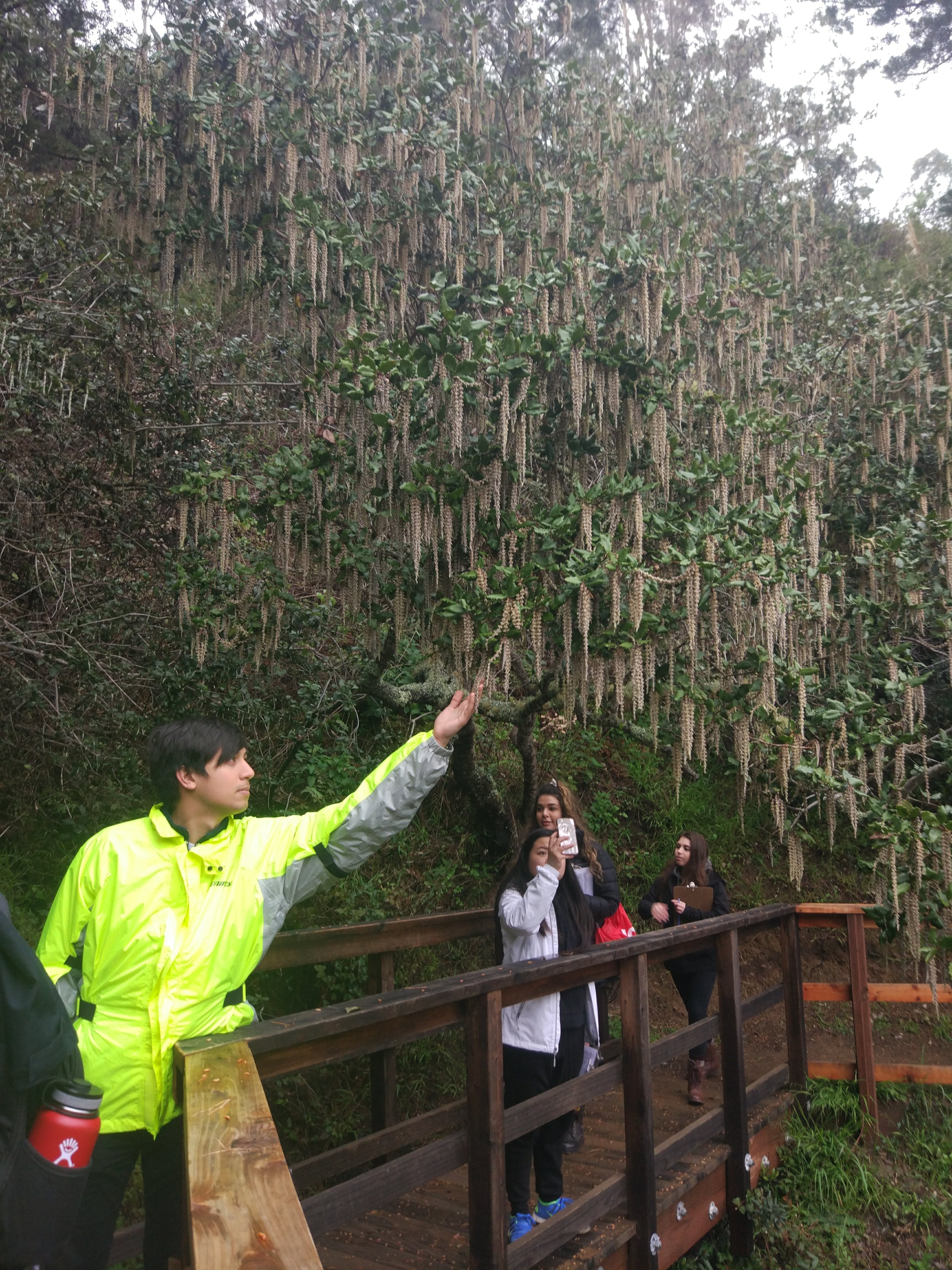
Trail began from the parking space atop the hill at the base of a radio tower. We traveled downward through a winding path which looped back to the road leading back up to the parking space. Most of the area was green and full of many species — which made the area seem like the perfect review space. The area was highly diverse but had little in the way of trees which must have prevented shade niche species. We arrived to the trail around 1 PM and left around 3:30 PM to stop by a popular food joint for whatever reason. The day was sunny but more on the colder side due to the altitude and plenty of wind.

 
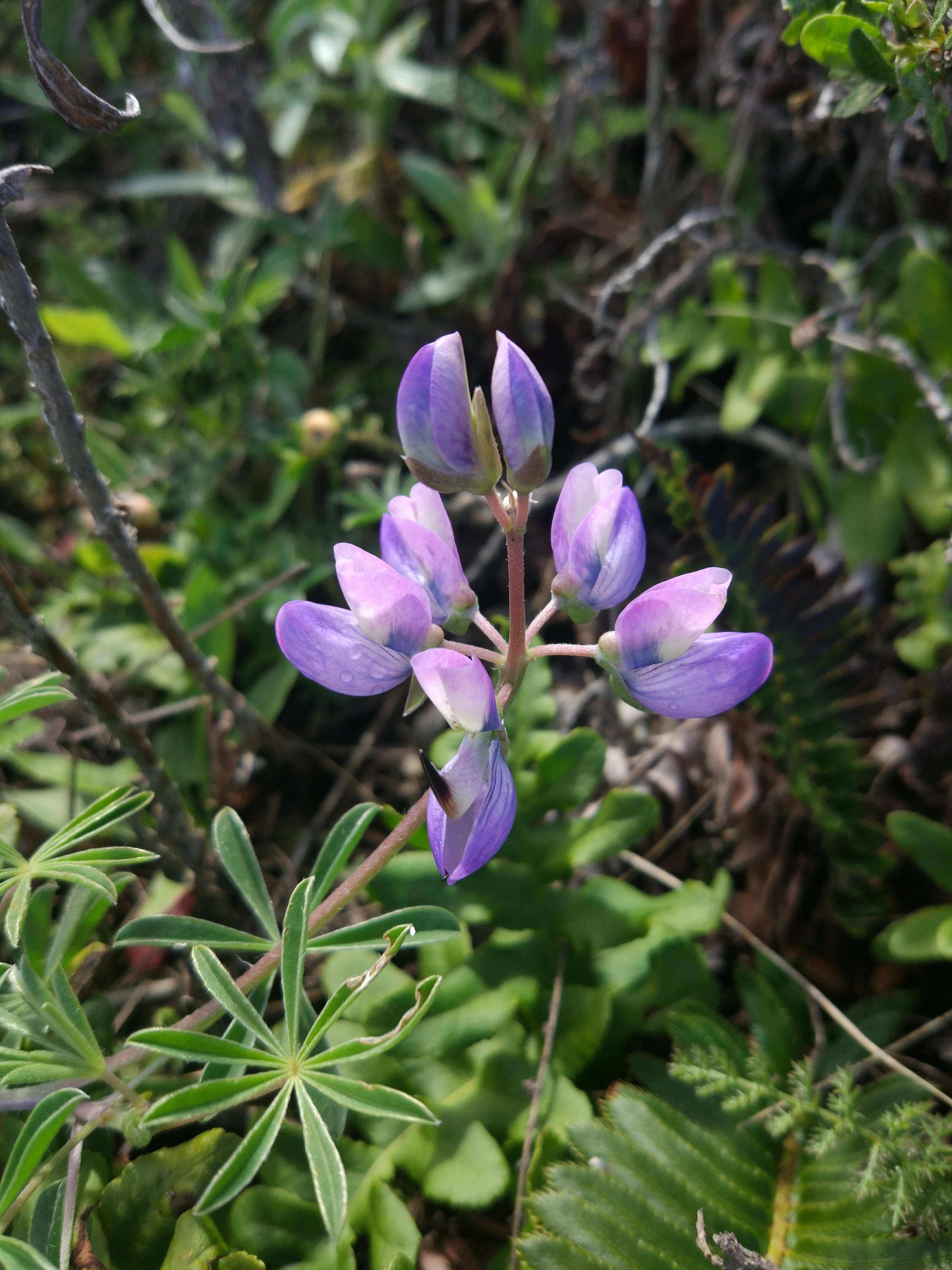
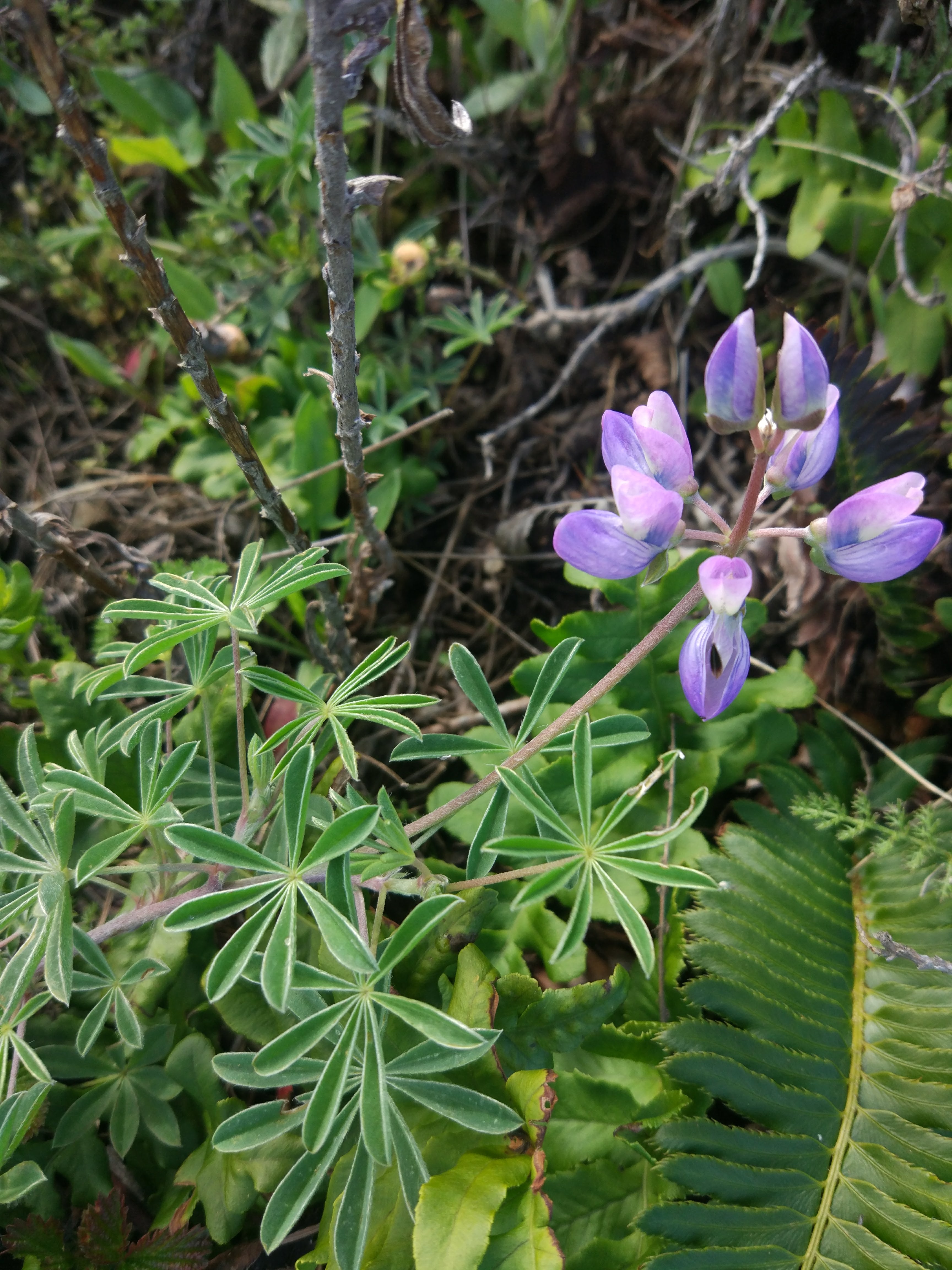
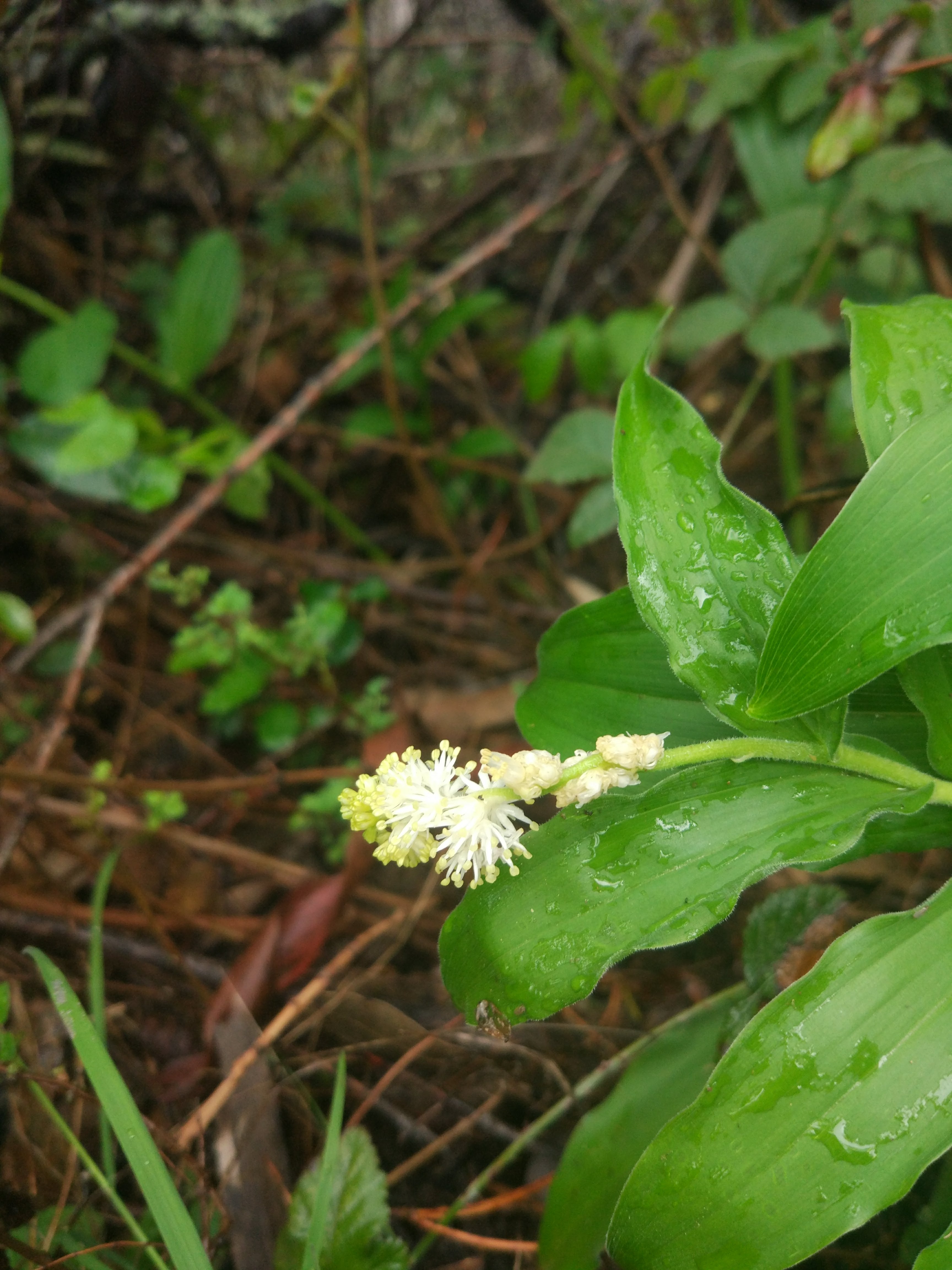
Lupinus albifrons | Silver bush lupine

Habit: Subshrub, clustered structures, inflorescence above rest of structure
Leaf: Whorled-like, involute, dissected
Repro: Typical banner wing and keel, spike-like, possibly determinate,
Location: Immediately off path, amongst many other species


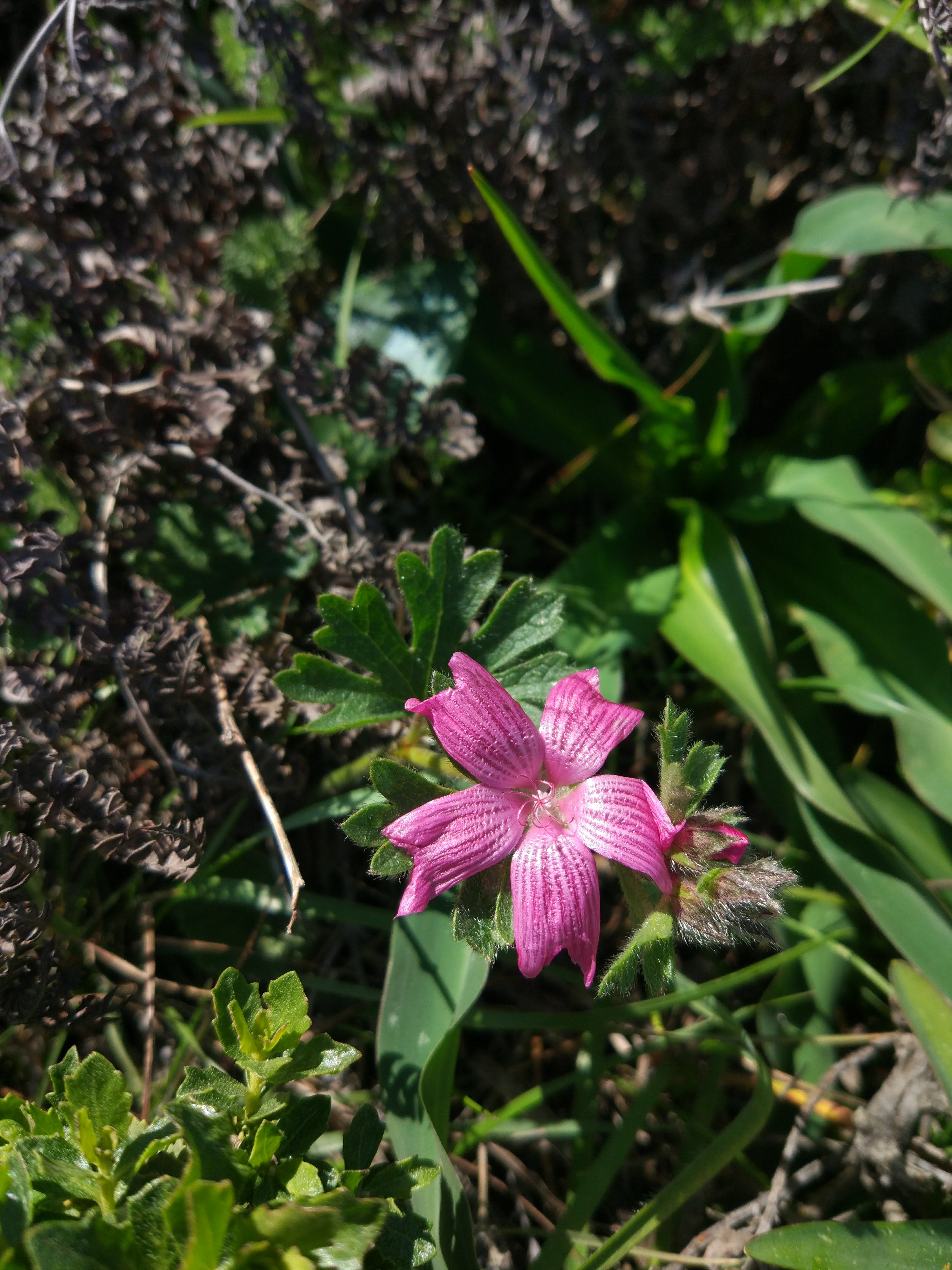
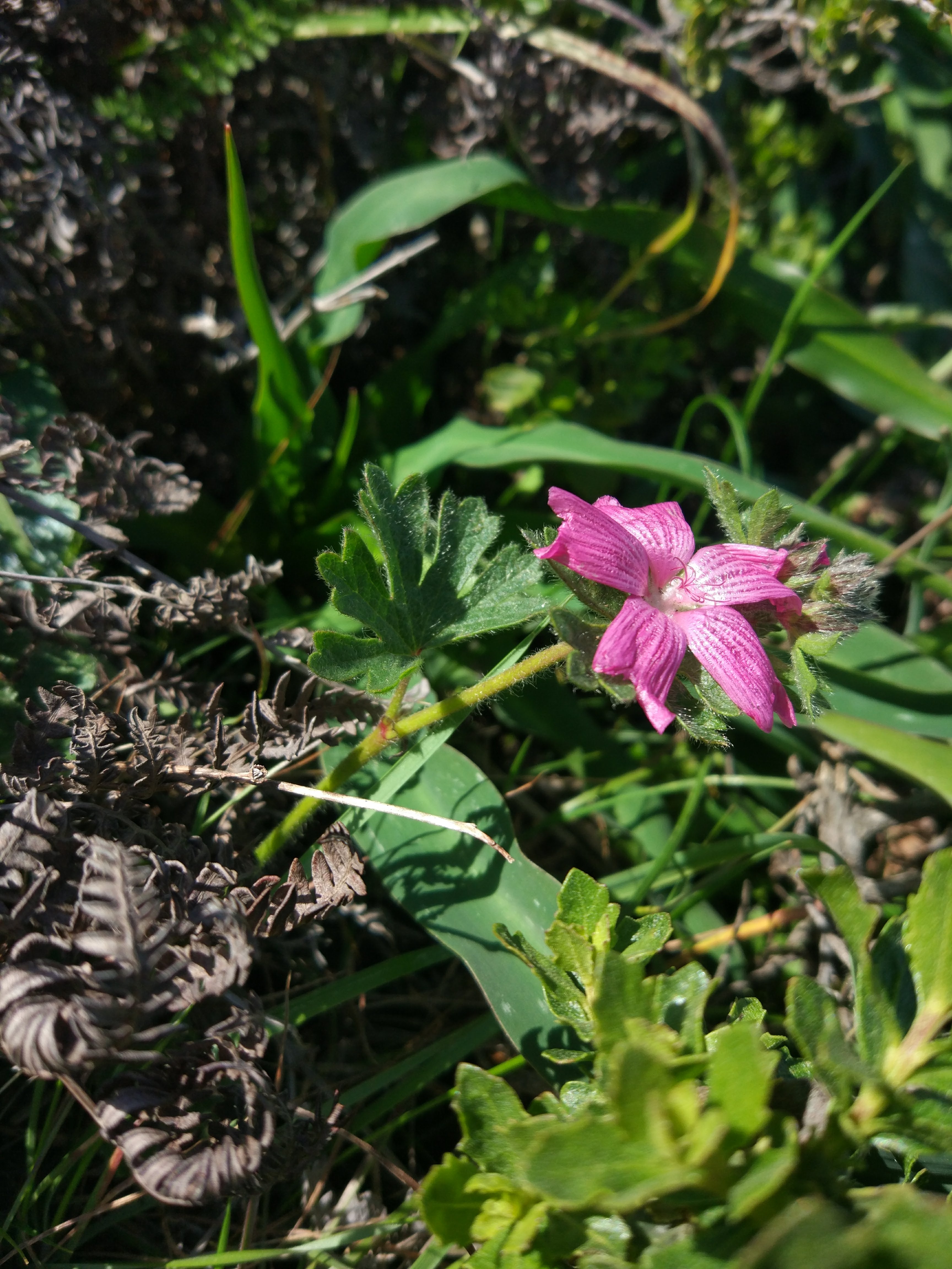
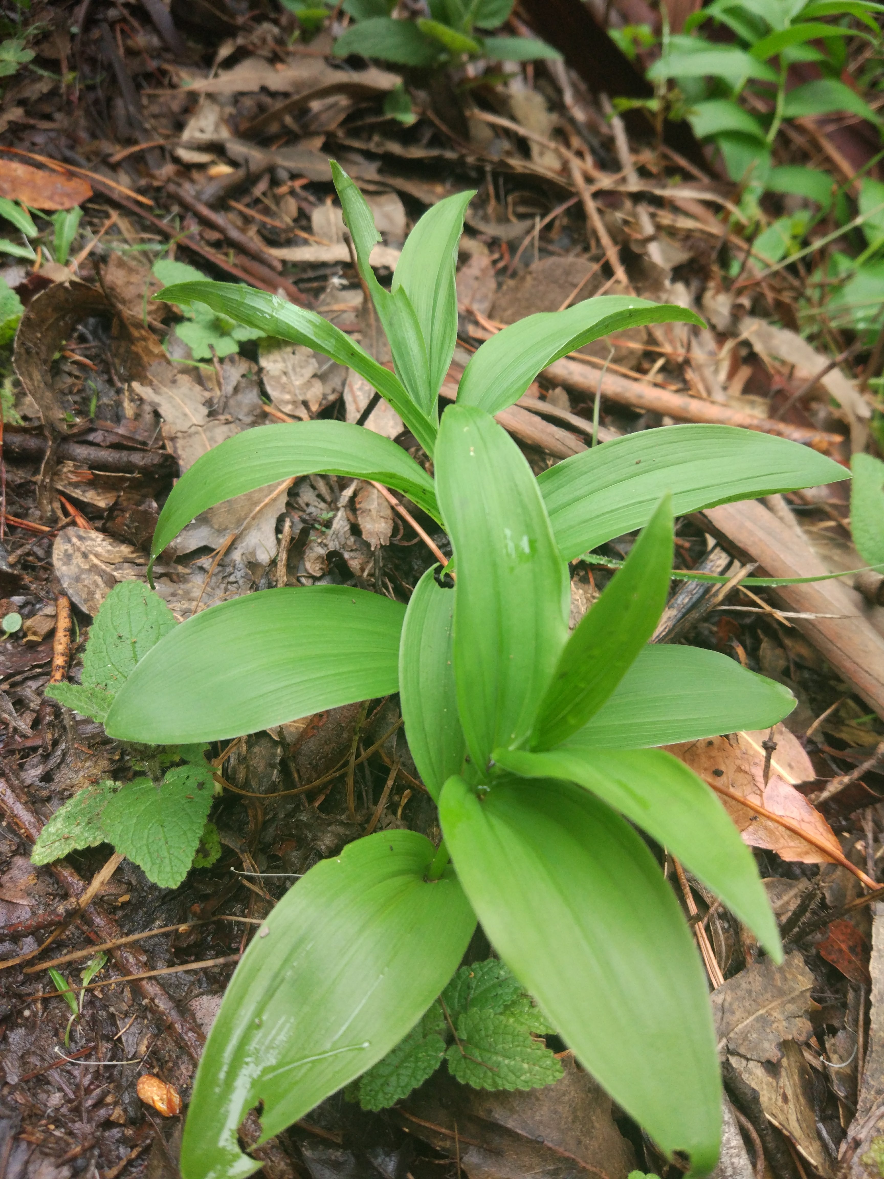
Sidalcea malviflora | Checker mallow

Habit: Herbaceous, low to ground
Leaf: Dentate, small leaves
Repro: Open, relaxed petals, bract, few flowers
Location: Immediately off path, sunny spots, exposed


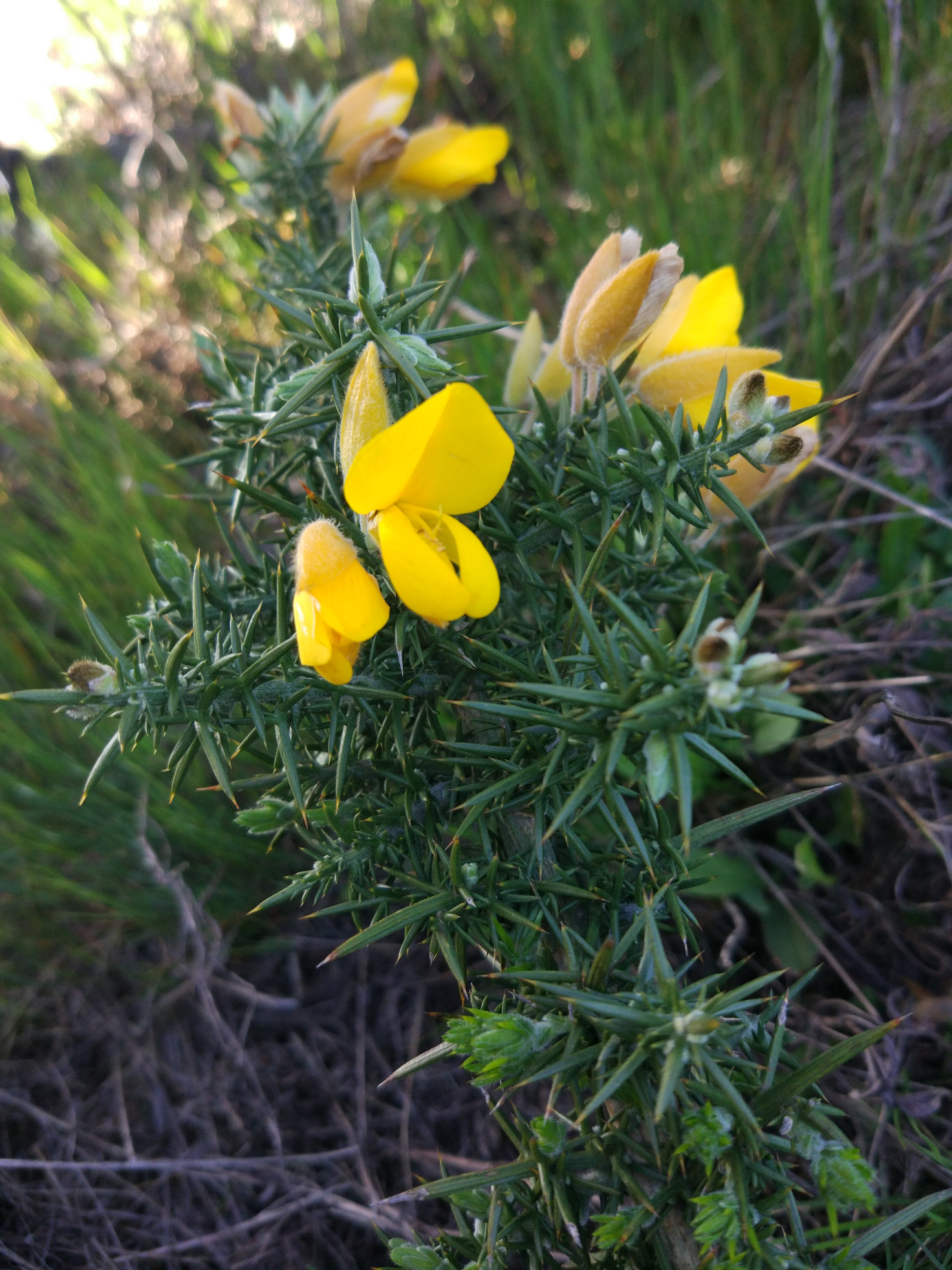
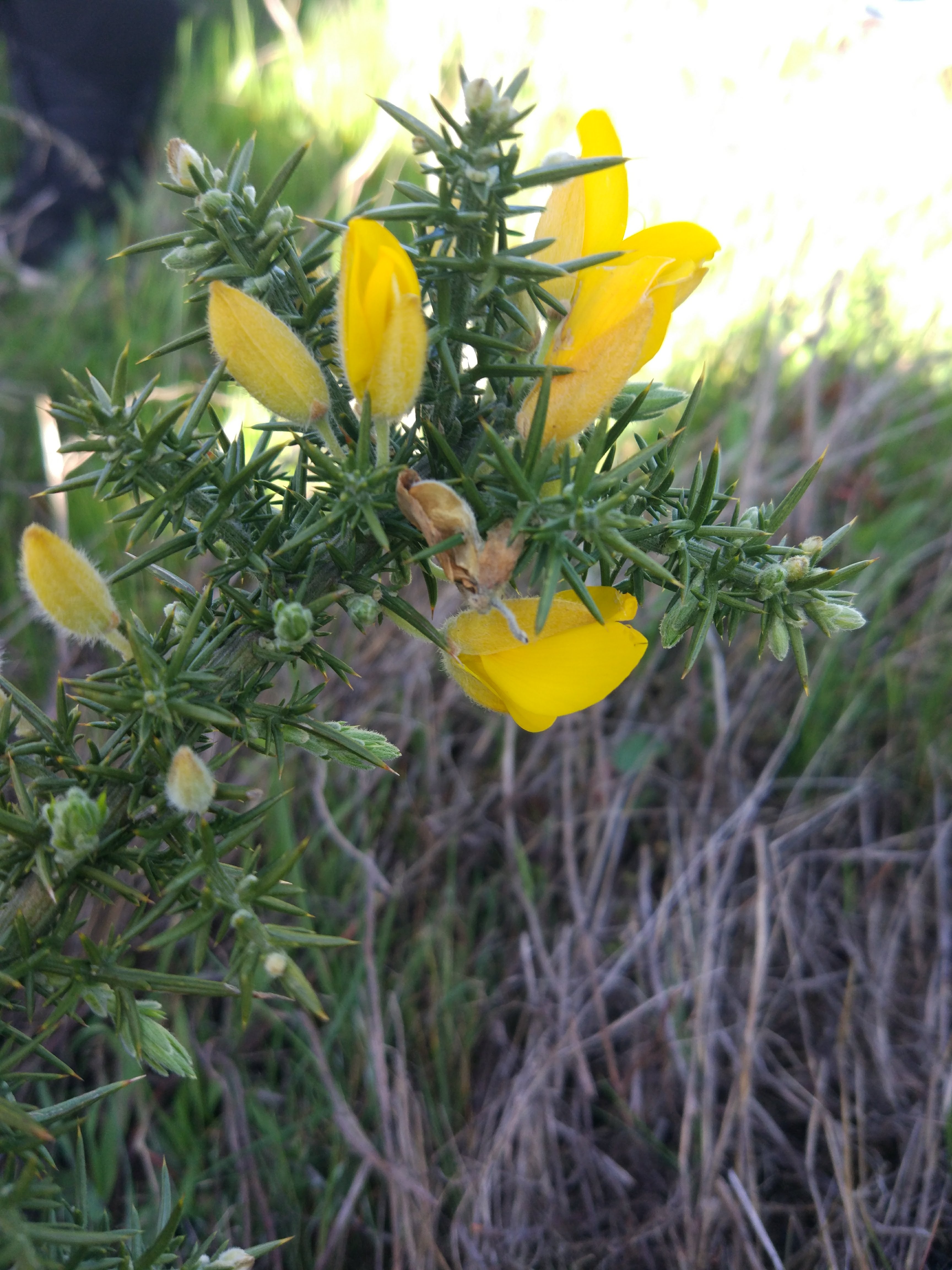
Ulex europaeus | Gorse

Habit: Herbaceous, clustered, dense, low to ground
Leaf: Specialized into thorns, no other leaf-like structures
Repro: Typical banner wing and keel, revolute banner, non-axial sporadic inflorescences, raceme
Location: Distant from path, amongst grasses on pasture, highly exposed, strong sunlight

Directions:

Take Balboa St to Park Presidio Blvd
Head west on Turk St toward Beaumont Ave
Continue onto Balboa St
Take 19th Ave to Sullivan Ave in Daly City. Take exit 48 from I-280 S/State Hwy 1 S
Turn left onto Park Presidio Blvd
Continue onto Crossover Dr
Continue onto 19th Ave
Pass by Chase Bank (on the right in 0.8 mi)
Use the right 3 lanes to turn slightly right onto Junipero Serra Blvd
Use any lane to take the ramp onto I-280 S/State Hwy 1 S
Take exit 48 for Sullivan Ave toward Eastmoor Ave
Keep right at the fork, follow signs for Mission St
Take E Market St and Guadalupe Canyon Pkwy to your destination
Turn right onto Sullivan Ave
Use the right 2 lanes to turn right at the 1st cross street onto Washington St
Pass by Planet Fitness (on the right)
Use any lane to turn left onto San Pedro Rd
Continue onto E Market St
Pass by Bank of America Financial Center (on the left)
Continue onto Guadalupe Canyon Pkwy
Turn left
Turn right

Field Journal #5 – Mt. Tamalpais

 
Location: 2572 ft above sea level | 37.924, -122.597 | Rock Springs Trailhead

Mt. Tamalpais is large range of mountains found north of San Francisco where we find the Rocks Springs Trailhead and up the road was Trojan Point, the vista where the previous photos were taken. High up above the fog that formed around San Francisco that day, we find forests and large swaths of similar ecosystems with many smaller niches. The trail started directly from the parking space for the vehicles and looped up and around an upward trail through the hills atop the mountain. Laid amongst forested, chaparral, and riparian niches the trail moved through different areas with almost distinct dominant species such as Tamalpais specific shrubs and Douglas Firs.


Calypso bulbosa | Fairy Slipper

Habit: Herbaceous, small, low to the ground
Leaf: Simple, opposite, two, basal, parallel venation, broadly acute, chordate, entire margin
Repro: Purple, banner/lip below, petals and sepals indistinguishable, 5 stepals, mottled lip, orchid column petal
Location: Off the trail, in the clear open air, shaded by taller trees, found on hillsidesm

Permula hernendosii | Mosquito Bill

Habit: Herbaceous, small, low to the ground
Leaf: Simple, ovate, basal, parallel venation, broadly acute, entire margin
Repro: Bracts, petals part of 4, purple, reflexed, stigma/ovary exposed
Location: Off the trail, in the clear open air, mildly shaded

Ceanothus jepsonii | Musk Brush

Habit: Herbaceous, small, low to the ground
Leaf: Simple, opposite, ovate, entire margin, palmate venation, broad, slightly dentate
Repro: Capitula/umbel-like, inflorescent bunches, purple, small flowers
Location: Off the trail, in the clear open air, strong sunlight, strong presence/dominant

While the trip started out cloudy and with a high chance of rain in San Francisco, the day was much warmer in Mt. Tamalpais and was far from cloudy. We left USF around 1 pm and returned right at 5 pm with less clouds in the sky than when we first departed. Mt. Tamalpais was open and spacious almost like a plateau up top, a distant space from the surrounding areas. The hike was an upward loop that came back around to the initial spot. Much of the trail was spent taking in the wonderful scenery and looking for the species of interested dotted throughout the hike.

Directions:

Take Balboa St to Park Presidio Blvd
Head west on Turk St toward Beaumont Ave
Continue onto Balboa St
Take US-101 N and CA-1 N to Panoramic Hwy in Tamalpais-Homestead Valley
Turn right onto Park Presidio Blvd
Continue onto Veterans Blvd
Keep left at the fork and merge onto US-101 N
Take exit 445B for CA-1 toward Mill Valley/Stinson Beach
Continue onto CA-1 N
Turn left to stay on CA-1 N
Continue on Panoramic Hwy. Drive to W Ridgecrest Blvd
Turn right onto Panoramic Hwy
Slight left to stay on Panoramic Hwy
Turn right onto Pan Toll Rd
Turn left onto W Ridgecrest Blvd


Field Journal #4 – San Pedro Valley, Pacifica

 
Location: 194 ft above sea level | 37.578, -122.476 | San Pedro Valley Park

South of Pacifica, the hike began in a riperian biome and moved gradually up the mountainous terrain which seem to harbor plenty of water as it was on the ocean facing side. As such the area was covered in extensive green flora with sparse plant areas dotted every now and then. Save for the one areas of monospecies dominated areas (pompous poeiceae and the manzanita forest), the species were pretty well dispersed and found throughout. Non natives seemed to have a strong foothold the whole way up the mountain. The hike was not too taxing and looped back around at the peak with a lot of shade from silver tassels and manzanitas among other common trees. The hike was struck heavily by rain and we sought shelter under trees as best we could. The rest of the hike was mainly cloudy and then cleared up as we left. We arrived around 1:20 PM and left around 4 PM.

Trillium albidum | Giant white wakerobin

Habit: Herbaceous, small, low to the ground
Leaf: Simple, lobed to dissected, palmate venation, broadly acute, chordate
Repro: Bracts, petals part of 3, white
Location: Off the trail, in the clear open air, strong sunlight

Oemleria cerasiformis | Oso berry

Habit: Shrub, slim, few leaves
Leaf: Simple, lobed, palmate venation, broad ovate and short, obtuse
Repro: Funnel shaped, pendant, clustered flowers, unisexual, bract
Location: Off the trail, clear area and open air, strong sunlight


Garrya elliptica | Coast silk tassel

Habit: Tree
Leaf: Simple, elliptic, pinnate venation, broadly acute, opposite
Repro: Pendant, unisexual, pistillate and staminate inflorescences,
Location: Off the trail, strong sunlight, competition for light

Maianthemum racemosum | Soloman’s plume

Habit: Herbaceous, small, low to the ground
Leaf: Simple, lobed to dissected, pinnate venation, broadly acute,
Repro: Fused bracts, capitula, head-like, many flowers in one inflorescence, umbel panicle, many observable stamen,
Location: Partly inward towards the field, amongst other herbs, strong sunlight, competition for light

Directions:

Take Great Hwy to Skyline Blvd
Head south on 29th Ave toward Balboa St
Turn right onto Fulton St
Use any lane to turn left onto Great Hwy
Parts of this road may be closed at certain times or days
Follow Skyline Blvd and CA-1 S to Fassler Ave in Pacifica
Turn right onto Skyline Blvd
Use the right lane to merge onto CA-1 S via the ramp to Pacifica/Santa Cruz
Continue on Fassler Ave. Take Terra Nova Blvd to Trout Farm Rd
Use the left 2 lanes to turn left onto Fassler Ave
Turn right onto Terra Nova Blvd
Turn right onto Oddstad Blvd
Turn left onto Trout Farm Rd